|
Wikipedia
|
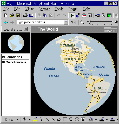
A screenshot of MapPoint in action
Microsoft MapPoint is both a technology ("MapPoint Web Service," previously known as MapPoint .NET) and a specific software program created by Microsoft that allows users to view, edit and integrate maps. The software and technology are designed to facilitate the geographical visualization and analyzating of either included data or custom data. Numerous acquisitions (Vexcel, Vicinity, GeoTango, etc.) have supplemented both data and feature integration.
MapPoint is intended for business users but competes in the low-end GIS market. It includes all of the functionality of the most recent version of Streets and Trips at the time of development, as well integrates with Microsoft Office, data mapping from various sources including Microsoft Excel, and a Visual Basic for Applications (VBA) interface allowing automation of the MapPoint environment.
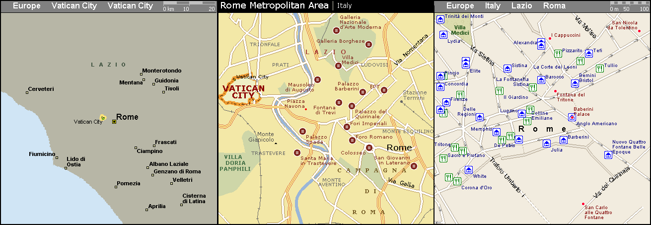
Three maps generated by MapPoint North America 2001 (outside the detailed dataset), Encarta 2005 (not very detailed) and Microsoft AutoRoute 2004 (highly detailed).
The MapPoint technology is used in
- End-user software:
- MapPoint (for North American and Western European business users)
- AutoRoute (for Western European for home and small business users)
- Microsoft Streets and Trips (for North American typical home users)
- Encarta encyclopedia
- Web-based services:
- The MapPoint web service
- The Microsoft Maps website mappoint.msn.com
- The MSN-based Virtual Earth virtual globe service.
Microsoft MapPoint as the software is typically updated yearly and available in both upgrade and full packaged product form, the current version being 2006, which significantly updated GPS integration and features. Previous versions were released starting with 2000 (developing from Expedia Streets, a consumer mapping application included with Office 97 Small Business Edition), which was slated to be included in the Office 2000 Premium Edition suite, but never was.
Subsequent releases followed in 2001 (very similar to 2000, and more of a data update), 2002, and 2004. New versions have not always been at the same time as the equivalent Office releases despite being numbered similarly; notably the 2002 release was excluded from the Office XP suites due to a lack of equivalent programmability, and 2006 was released well before Office 2007. The program's icon and toolbars have also not been updated since the 2002 release to stay consistent with the current Office suites.
The software is available for Microsoft Windows, and includes a less-featured edition entitled Pocket Streets for the Windows CE 5 family of products, such as PocketPC, Smartphone, and Windows Automotive.